New Brunswick Day Trips
Cape Jourimain Nature Center
We went to a park about 20 minutes away from where we are staying. This park is at the end of the Confederation Bridge. The park has a great view of the bridge, beach access and a nice lighthouse.


 |
| This truck is ready for the moose and caribou we have yet to see. |
Hopewell Rocks


The Hopewell Rocks are rock formations caused by tidal erosion in New Brunswick. They stand 40–70 feet tall. They are located on the shores of the upper reaches of the Bay of Fundy at Hopewell Cape. Due to the extreme tidal range of the Bay of Fundy, the base of the formations are covered in water twice a day. However, it is possible to view the formations from ground level at low tide.
The formations consist of dark sedimentary conglomerate and sandstone rock. The large volume of water flowing in to and out of the Bay of Fundy modifies the landscape surrounding it. After the retreat of the glaciers in the region following the last ice age, surface water filtering through cracks in the cliff has eroded and separated the formations from the rest of the cliff face. Meanwhile, advancing and retreating tides and the associated waves have eroded the base of the rocks at a faster rate than the tops, resulting in their unusual shapes.
Although the tides vary from day to day, the high tide can be as high as 52 ft giving the Hopewell Rocks one of the highest average tides in the world.


I tried putting similar views up near each other for you to see the difference. This ebb and flow of the water happens twice a day. It is amazing the difference in the tide, from ocean floor to over 30 feet deep water.


The only moose we have seen so far!!


The Tidal Bore in New Brunswick Canada, occurs along the Peticodiac River near Moncton & Riverview and is a naturally occurring phenomenon that is caused by the surging waters from the Bay of Fundy tides which are the highest tides in the world, that roar up the Peticodiac River twice daily during the changing tides.
The Tidal Bore occurs twice per day and creates a thick wave of water from the higher waters in the bay Bay of Fundy which run up the placid Peticodiac River and roll back upstream in one wave, which can vary in height from 1 in. to 24 in.
Just as spectacular is the rapid and dramatic change in the river itself. At low tide the muddy river bottom is often visible, but within an hour of the arrival of the Tidal Bore, the water level rises some 7.5 m (25 ft.), filling the river to its banks.

You can see the wave just in front of the bridge.


The difference in the height of the river was truly amazing!


Fort Beausejour-Fort Cumberland
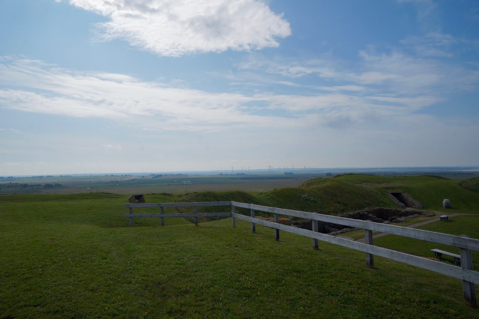
Fort Beauséjour is a large five point star fort overlooking the Bay of Fundy. It is on the Isthmus of Chignecto, a neck of land connecting present-day New Brunswick with Nova Scotia, Canada. The site was strategically important in Acadia, a French colony that included parts of what is now Quebec, the Maritimes, and northern Maine. It was built by the French from 1751 to 1752. It is one of the oldest forts in Canada, constructed by the French following a design by the famous military engineer, Vauban.It was surrendered to the British in 1755 after the Battle of Fort Beausejour. It was then that it was renamed Fort Cumberland. The fort played an important role in the Anglo-French rivalry of 1749-63 and in the 1776 Battle of Fort Cumberland when sympathizers of the American Revolution were repulsed. It was reinforced for the War of 1812 and abandoned in 1835.

 |
| This crib was built for Queen Victoria's son who later became King Edward VII. The ship that was carrying it was sunk and therefore never used by Edward. The cradle was recovered and brought back to Nova Scotia and on display at this museum. It was designed by Charles Dixon. |


Built by the French in 1751, Fort Beausejour was captured by British and New England troops in 1755 and renamed Fort Cumberland. Some Acadians (early settlers of French descent) were forced to take up arms agains the British in this Battle. Soon after, the British rounded up and deportations from Grand Pre and Pisiquid.
 |
| The Acadians had lived here for almost a century before being deported by British and New England troops. |
 |
| Ships take Acadians into exile. |
 |
| Soldiers of the 28th and 43rd regiment of foot mount artillery pieces while New England militiamen assemble to go on patrol at Fort Cumberland in 1757 |


When the British took over the fort, they deported the Acadians
who had lived in this area for over a hundred years.

 |
| Barracks Foundation |


 |
| Everyday life inside the fort during the French period- 1754 |
 |
| British Stone Casement and Officer's Barracks, Former French Entrance |


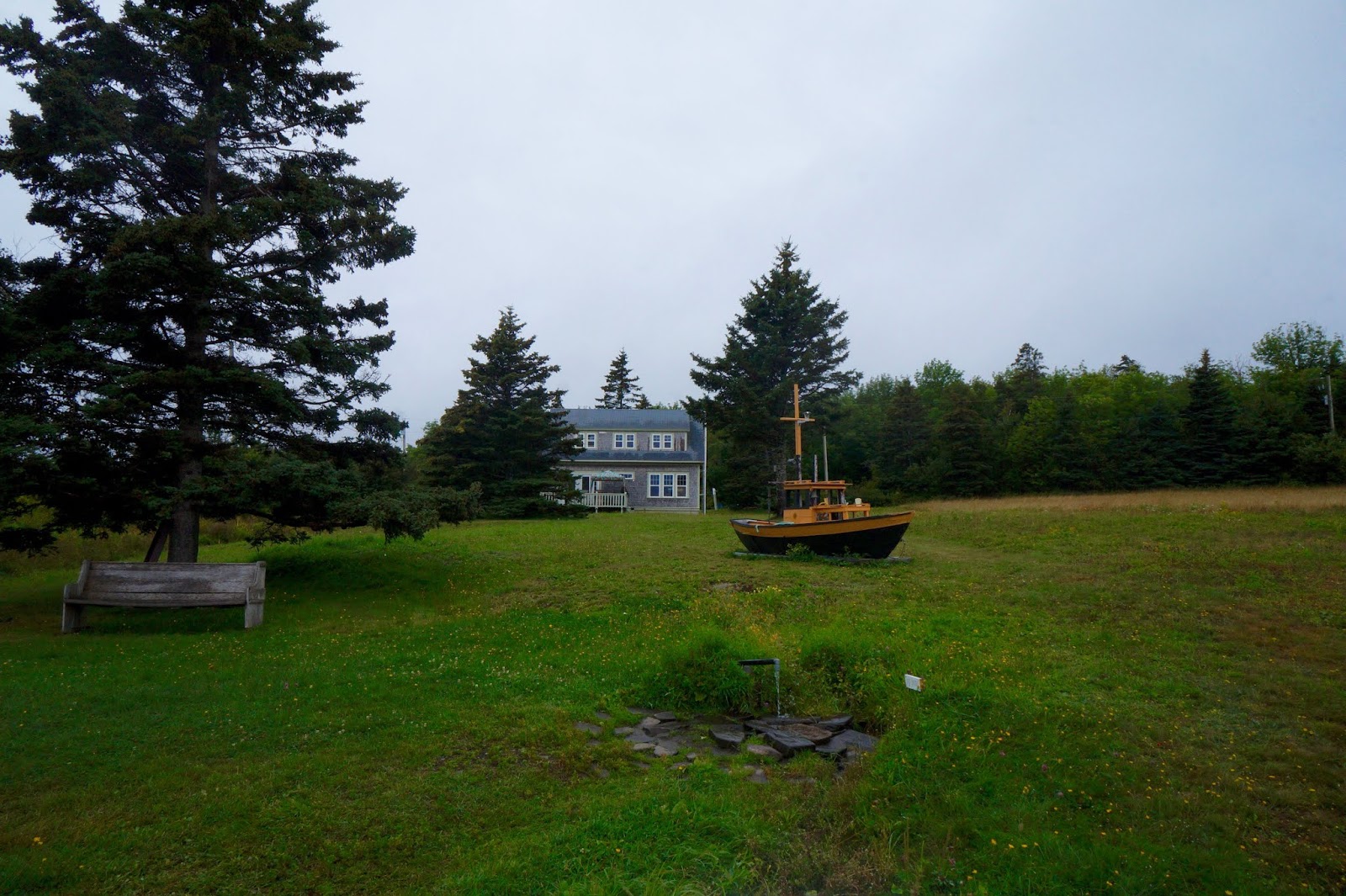
Sackville

We went to Sackville to checkout their market day. The park was a buzz with activity.
 |
| Of course I found a dog to pet!! |


Shediac


A jaunt back into Nova Scotia for a day trip!
Five Islands


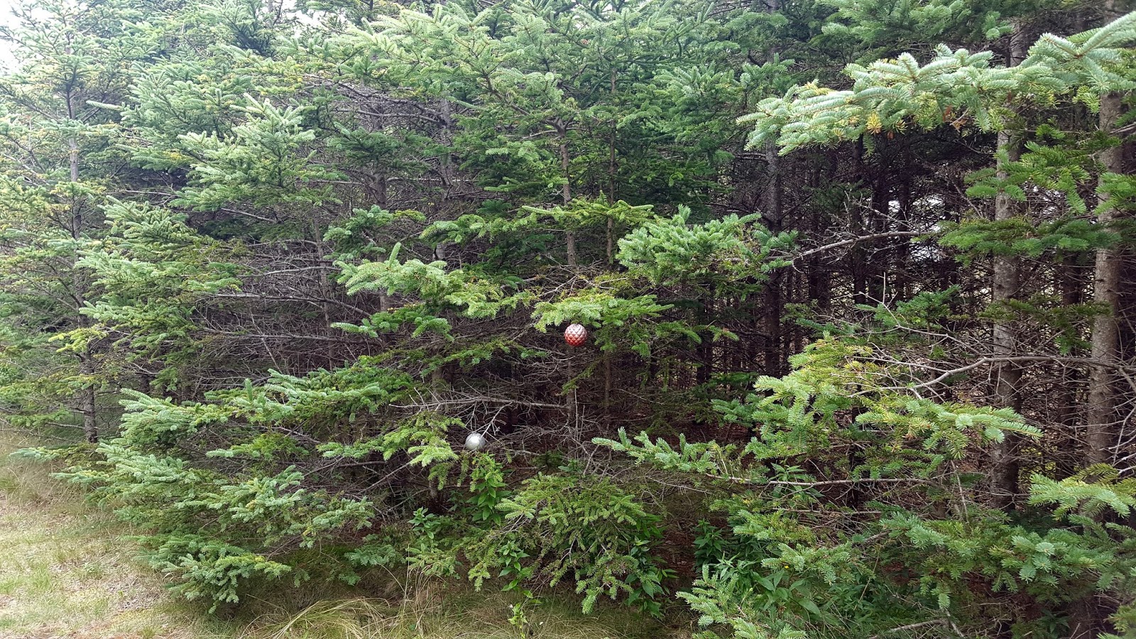
The park at Five Islands had a lovely walk which wound through Christmas trees. Some people have put ornaments on some of the trees.


 |
| While at the park, this beautiful dog comes out with his owners. His name is Bear and he is over 200 pounds! What a beauty! |


The rocky cliffs constitute a record of frozen violence- volcanoes,
continental drift, and the rending of whole continents.
During the Triassic Period, 200 million years ago, (versus the Jurassic Period the movie
was about which was more recent) all the continents joined to form the super- continent Pangea.
When the continental plates tore apart, magma from the earth’s core poured up through a
series of volcanoes along a rift valley which became the Bay of Fundy.
Molten minerals flowed into veins and pockets created by expanding
gasses within the magma. These minerals became agates, amethysts and zeolites -
and, at Cape D’or, veins of almost pure copper. The geological record exposed here by the powerful
Fundy tides extends from 300 to 175 million years in age. It contains samples of
almost every mineral on earth, and also a stunning array of fossils.
In 1607, the gleaming copper in these basalt cliffs prompted the explorer Samuel de Champlain to name this headland Cape D’Or, meaning Cape of Gold, and to designate the adjoining body of water Bassin des Mines, which evolved into Minas Basin. In 1897, the Colonial Copper Company established a mining operation here, with wharves, railways, an electric power plant, company housing and three mine shafts. The operation never fulfilled its promise, and in 1905 it ceased operation. Its buildings and equipment were later sold off and removed.


Every six hours and 25 minutes, about eight square kilometers of water flows through the Minas Channel- more than the daily outflow of all the world’s rivers. This huge volume of water is driven by the tremendous gravitational force of the moon, which forces the ocean’s water into shelving and narrowing bay at speeds of 15 km/h and creates the world’s highest tides.
At Cape D’or, the tides meet obstacles on the shoreline and the sea floor which produce a tumultuous tidal disturbance called the Dory Rips.
When the rising tide approaches the Cape, a side current flows into Advocate Bay. As the bay fills, the water flows diagonally back into the main stream along the front of the Cape.
Meanwhile, the main stream is forced upward over an underwater basalt reef off the Cape, producing near-vertical waves or overfalls. Beyond the Cape, another side current floods the Spencer’s Island-Greville Bay area, forming a back-eddy against the shore. The eddy’s outflow rushes along the back of Cape D’Or, colliding with the Advocate Bay current as it rejoins the main stream.
These three streams- one behind the Cape, one in front, and one from the seafloor- combine to create the fierce turbulence of the Dory Rips.


Joggins


With all the beauty and astonishing things we saw today, the sign below brought us the most amusement. We laughed for over a half hour. Gut busting laughs. This was found on a dead-end road.

More New Brunswick on our way back to the States!
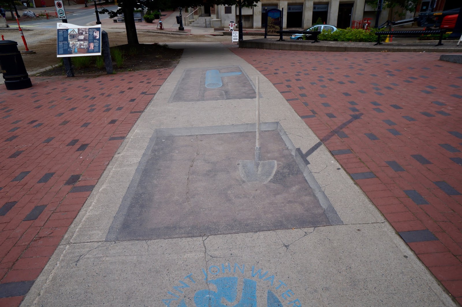
St John
Saint John is a gritty industrial city with a striking waterfront enhanced by the Harbor Passage. Established in 1785 by Loyalists from America who wanted to remain loyal to the Crown, Saint John was Canada’s first incorporated city prospering as a port and shipbuilding center. In 1877, a fire destroyed almost the entire downtown which was then rebuilt with fine brick and stone buildings which many are still around today
May 1783
Seven ships lie anchored in the Bay of Fundy, off the mouth
of the Saint John River. The passengers aboard are a curious
collection of refugees – they are farmers and doctors,
carpenters and lawyers, craftsmen and soldiers – people of
every age, from all walks of life. As they gaze grimly upon the
rocky peninsula and the Fundy mud flats sprawling before
them, they share a common longing for the homes they left
behind.
From the beginnings of the American Revolution in 1774, to shortly
after its conclusion in 1783, some 40,000 British subjects fled north
to escape persecution. The 3,000 “Loyalists” – as they were called –
who arrived in Saint John that May were followed by 11,000 more
before the year ended.
The Loyalists established two settlements at the mouth of the Saint
John River – Parr Town, named after the Governor of Nova Scotia;
and Carleton, after their Commander-in-Chief in New York. Many
moved and settled upriver. In 1785, the two settlements were
incorporated by Charter into the City of Saint John. In time, the
Loyalists would come to regard their infant city with an affection
similar to that which they had felt for their American homes. This
deep sentiment, combined with patience, toil and a strong will to
survive, enabled them to build a brand new life upon this once
seemingly inhospitable shore.

in the Georgian style, served for many years as a fire station.


Old Courthouse- 1829
The courthouse was built in 1825 to plans by Saint John architect
John Cunningham, who designed many prominent Saint John
buildings of the period. Fluted
pilasters and a pediment on the
upper floors evoke imagery of
a Greek Temple, considered an
appropriate characteristic for public
buildings of the time. Of special
interest is the stone staircase, which
spirals up three storeys without a
central support. The Court was still
in use until late 2012. The Saint John
Law Courts opened in early 2013,
located at Peel Plaza
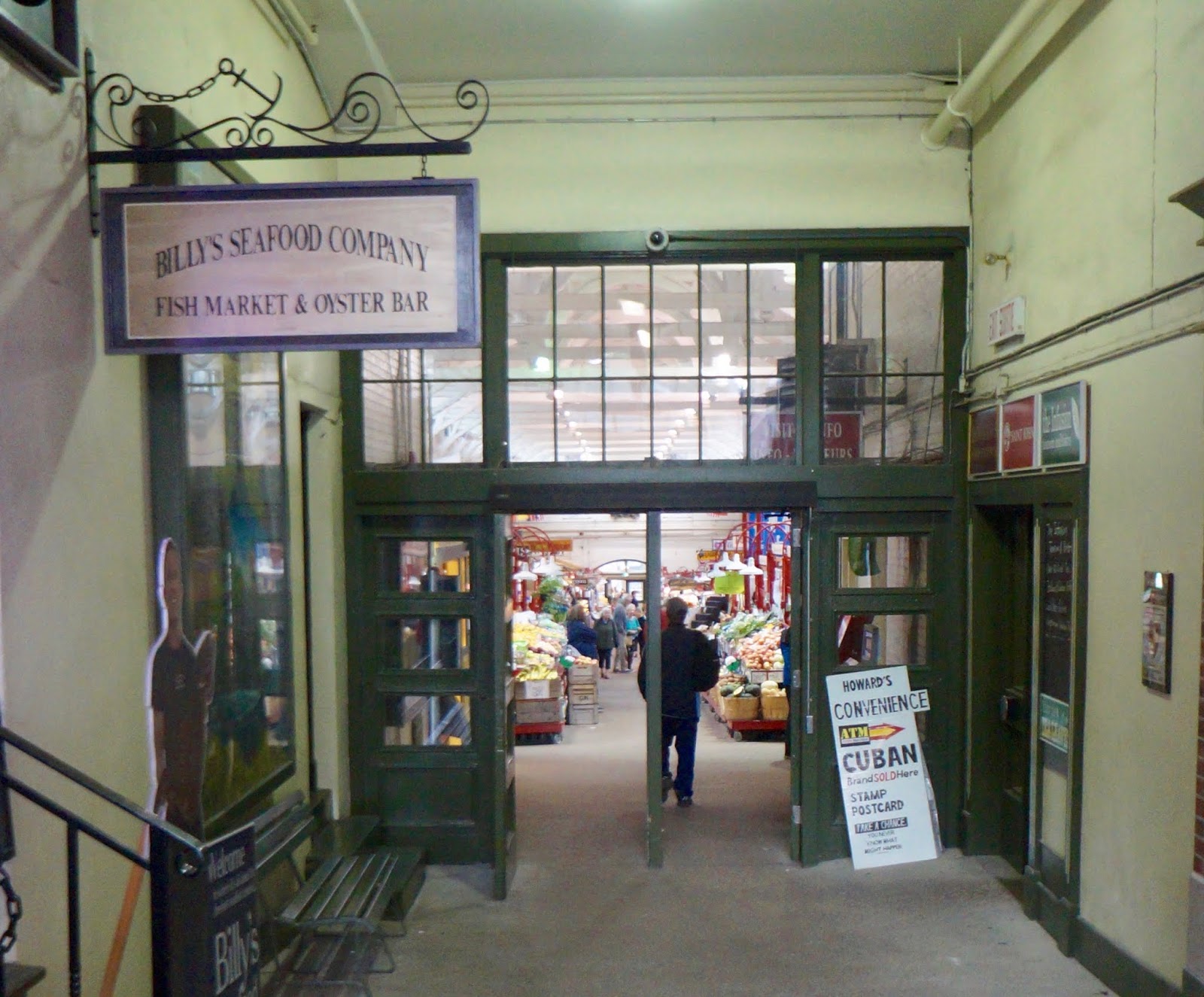
Saint John City Market
The 1876 City Market, the oldest in Canada, occupies a full block. The handsome building was designed by local shipbuilders, whose influence is obvious when you look up at the inverted keel ceiling. The collection of stalls is varied- an old fashioned butcher, fruit produce, fresh seafood, and touristy knick knacks.

“Figurehead”, City Market
On the outside wall of the City Market is a sculpture work entitled
“Figurehead.”
The figurehead is a stylized
interpretation of those which guided wooden sailing ships.

Loyalist House
1810, this Georgian Loyalist House is Saint John’s oldest building. Lived in by six generations
of same family. The house was built in the Georgian style by Loyalist David Merritt between 1810 and 1817.
of same family. The house was built in the Georgian style by Loyalist David Merritt between 1810 and 1817.


Saint John’s Stone Church
This church, completed in 1825, was the first stone church built in the city. Although named St. John’s Church, a national historic site (1987), its contrast to the many frame churches of the day resulted in its being dubbed Stone Church.

Saint John Arts Centre
The building opened in 1904 as one of 2,509 public library
buildings Andrew Carnegie gave to communities of North America.
It is an outstanding example of the period architecture with a
stained glass ceiling in the almost 3 story-high rotunda.


Saint John has a strong Scottish presence. The breakup of the clan system in the late 18th century caused massive emigration from the Highlands. As a result, some 25 percent of the population has Scottish ancestry. Scottish influence is found throughout Greater Saint John in the names of streets and neighborhoods such as Mackay Highway, McLaren Boulevard, and the community of Upper Loch Lomond.
Saint John is home to Canada’s oldest Saint Andrew’s Society, which held its first meeting on March 8, 1798.
The Saint Andrew’s Society’s two principal tenets- benevolent assistance to the natives of Scotland and their descendants, and support of Scottish culture.

Barbour’s General Store
In 1867, brothers George and William Barbour started a wholesale operation on South Market Wharf supplying fish, eggs, poultry, and other local goods to vessels and area retailers. Although the building burned in the Great Fire of 1877, the business was rebuilt and taken over in 1895 by George’s son, George E Barbour, giving the company the name is still bears today.
In 1967, G.E. Barbour moved its headquarters and manufacturing too Sussex, New Brunswick, but left a presence in Saint John with Barbour’s General Store. The authentic mid-1800’s country store was bought by the company to celebrate the shared 100th anniversary of the business and of Canada. The store now stands within sight of the original Barbour business at Market Slip.

The library was in the midst of the stores in this building. I loved how they decorated the exterior with books.

More scenes around Saint John


Saint John High School
The first school bearing the name Saint John. The high school opened in 1897 on Union Street. The opening of the school was controversial at the time as it was a co-educational institution. The cool colors, originally brown and blue, were changed to red and grey in 1903. By 1932 the school witnessed its last graduation class as a new school was constructed on Prince William Street.


Partridge Island was a major point for entry for European immigrants during the 19th and 20th centuries, almost 100 years before Ellis Island. Many of our ancestors made their start in the New World on its rocky shores. It also served as North America’s first quarantine station in 1785, with an estimated three million immigrants and mariners passed through before it closed in 1941.

The Trinity at St Patrick’s Square
At the foot of Prince William Street stands an iron lamp known as “The Three Sisters.” It has guided mariners into the harbor since 1848. In 1967, the lamps were restored as a Canadian Centennial project through the joint efforts of the stevedoring firm of H.S. Gregory and Sons Ltd. and Saint John Iron Works Ltd. They were replaced in 1997.


The Celtic Cross standing near the lamps is a copy of a larger one on Partridge Island which you can see at the harbor’s mouth. The cross was erected in 1927 to commemorate the 1,200 Irish Immigrants and local citizens, who died in 1847 of typhus on Partridge Island and in the City, and to Dr. James P. Collins, who died on the island treating those sick.


Ireland’s Great Potato Famine in the mid-1840s brought over 30,000 immigrants to Saint John, more than the city’s population at the same time. Typhus fever killed over 2,000 people, 600 of whom died on Partridge Island. About 2500 people were then living in quarantine; the island’s hospitals could only accommodate 200, leaving the others in army tents or on the ground outside.


This area was set aside as a public ground in the original Town plan drawn up by Paul Bedell in 1783. The oldest surviving stone dates to 1784 (Conradt Hendricks) and is located on the southern side of the graveyard near the southwest corner. In April 1848, the graveyard was closed to further burials by an Act of the Provincial Legislature.


Fort Howe Lookout
The Loyalists established a fort here in 1778 to defend their new settlement which affords unobstructed views of incoming vessels.


Up on the hill at the lookout, we met two gentlemen who gave us a quick lesson in Saint John. Thomas Shankin, an author on books about Saint John, and his friend, Father Christmas!

 |
| A View of Saint John |

Tom encouraged us to go into this church because of the beautiful interior. Tom told us to use his name to get inside. Turns out it was closed, but the vicar was pleased for us to come in and take a look around. The interior was built by shipbuilders. It was quite beautiful!


Irving Nature Park
The Irving Nature Park is a 600 acre site created by J.D. Irving, Limited (JDI) to help protect an environmentally significant area. This is a place where everyone can come and experience the various ecosystems of the Southern New Brunswick coastline. The area nurtures one of the province's richest marine ecosystems. It's a traditional staging site for migratory and marine birds that travel between the Arctic and South America and a breeding ground for many waterfowl of the Atlantic coastline.


Believe it or not there is one seal sunning on the furthest left rock. He was by himself on seal rock.

Carleton Martello Tower
From its rocky perch overlooking the Bay of Fundy, Carleton Martello Tower offered its defenders a commanding view of the harbor approaches and the surrounding landscape. It was built in 1812 to protect the then fledgling Saint John from attack, the tower is similar in design to vitvulst towers built along the British coastline during the Napoleonic wars. Over the years this solid stone structure has also been used for ammunition storage as a soldiers barracks as a detention center for deserters and as an anti aircraft position. However, the tower was never attacked, and since the early 1800s its scenic location has made it a popular recreational destination.


In the early nineteenth century, Britain found itself threatened by Napoleon in Europe and by the United States in North America. Easy to defend and economical to build, martello towers appealed to British military engineers as an effective means of defense both at home and abroad.
Many architectural details of the Carleton Martello Tower are similar to those of hundreds of other martello towers built around the world to protect British interests. Specific features such as the thick, tapering, rounded walls, central support pillar, and second-story entrance are typical of classic martello towers.
The addition of a concrete superstructure, which served as the fire command post for Saint John during the Second World War, makes the Carleton Martello Tower unique among North American martello towers.

The War of 1812: Defending Saint John
After the United States declared war on Great Britain in 1812, British North Americans found themselves at war with their neighbors. Although most of the actual fighting during the War of 1812 took place in present-day Ontario and Quebec, all of British North America was affected.
Mindful of Saint John’s economic importance and strategic location at the mouth of the Saint John River on the Bay of Fundy, British military officials were quick to develop a defense plan for the town. Thespian included a recommendation that a martello tower be constructed on the western side of the town to defend against a possible landward attack from that direction.


Reversing Falls
A Reversing, Rushing Torrent
The superlatives ‘natural wonder’ are sometimes an exaggeration. Not so in the case of Saint John’s rushing torrent of water known as the Reversing Falls. Rivers everywhere feed the world’s oceans. What’s unusual is that twice each day the Saint John Harbor pushes back, overcoming the river current and making the water fall five meters in the opposite direction. The abnormality can be blamed squarely on the Bay of Fundy, a dynamic marine eco-system known for producing the world’s most extreme tides. During the time between these contrary events, the water’s surface rests placidly at half tide, allowing vessels to come and go through the 150-meter-wide gorge in relative safety. While the Reversing Falls are exciting to watch, the havoc created by Fundy’s tidal flow through the gorge has brought peril to many, including those who have paid the ultimate price. The worst recorded disaster in the history of the Reversing Falls occurred on August 2, 1838 when nineteen of twenty-five people perished after their vessel had a brush with the rocks and capsized. The victims, mostly women and children on their way to a berry-picking excursion up-river, were unable to survive the eddies, whirlpools and rapids. The New Brunswick Courier referred to the event as a ‘melancholy catastrophe.’ This and other incidents remind all that the Reversing Falls is an unpredictable natural wonder and a phenomenon worthy of respect and caution.


More scenes around Saint John


Kings Square
Laid out in shape of Union Jack to reflect the loyalty to the Crown by those escaped the American Revolution to settle here. Lumps of metal salvaged from a hardware store destroyed by fire in 1877.
King’s Square
This is one of four squares included in the original town plan. The
site was cleared in 1844 and laid in an ‘X’ pattern. The unique
two-story bandstand was donated by the City Cornet Band as a
“Memorial to Edward VII, King Emperor 1901-1910.” Of particular
interest is the Young monument, erected by public subscription
to commemorate the valiant efforts of Frederick Young to save a
drowning boy.


The BnB we stayed in at
Saint John, the Fitzgerald.


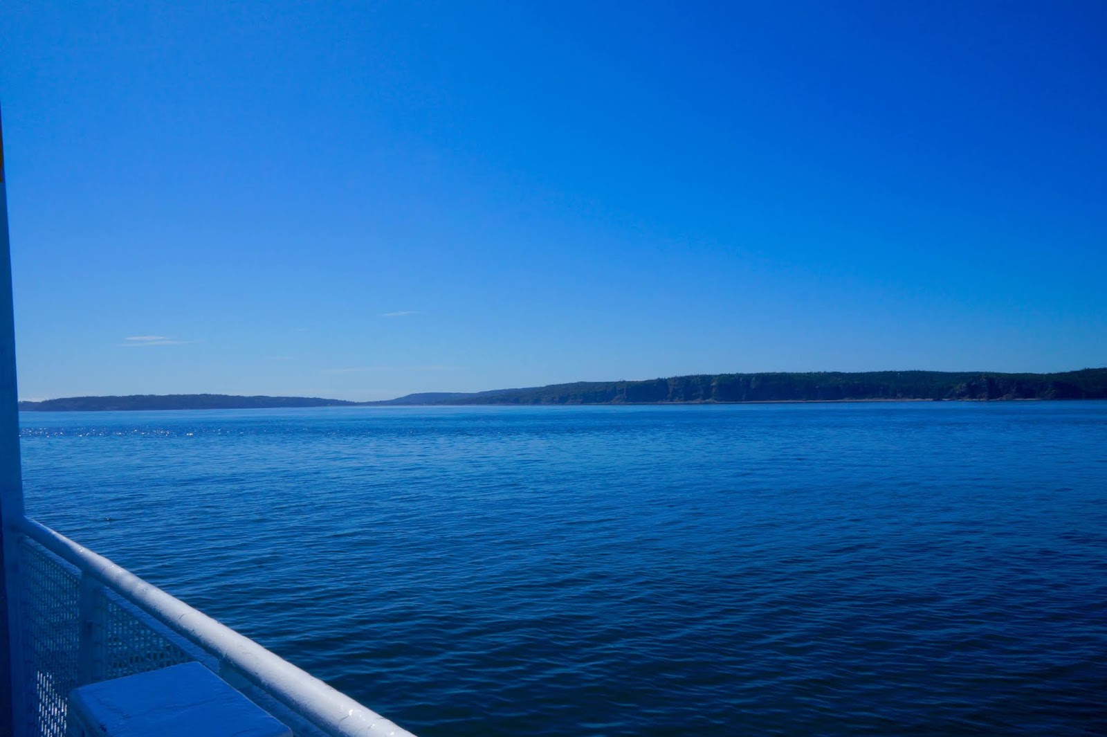
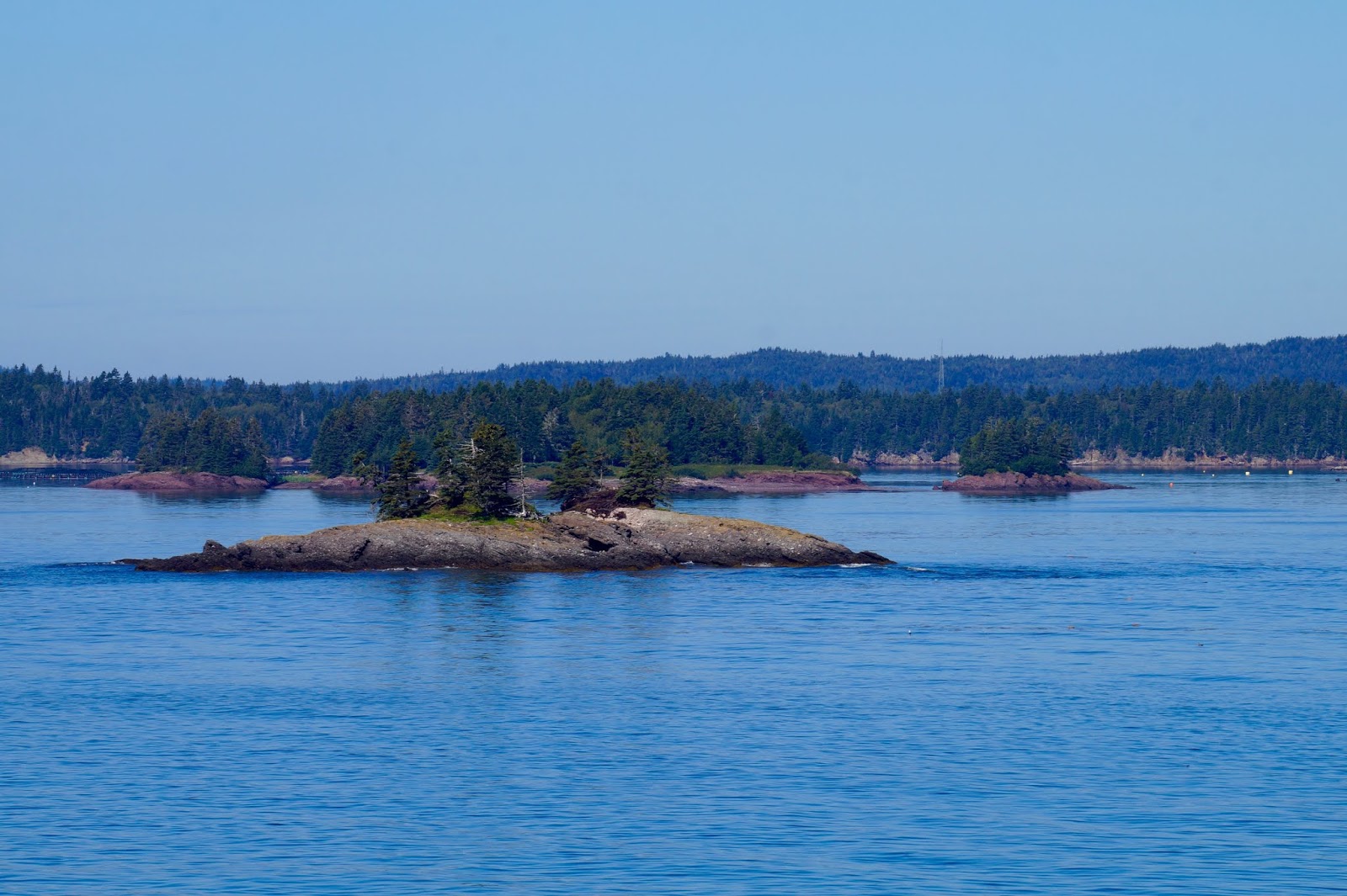
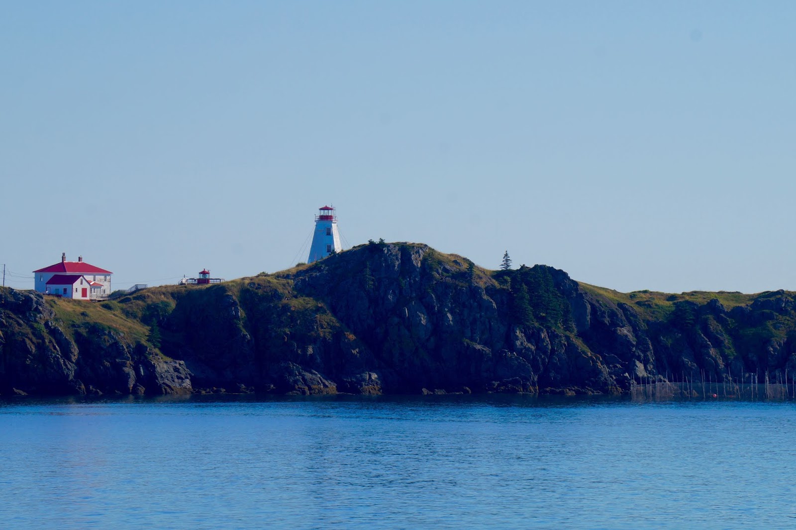
 We took a ferry to Grand Manan.


On the ferry we met Meri, Sarah, Smokey, Jazz, and Grace! We had such a
great time getting to know them!


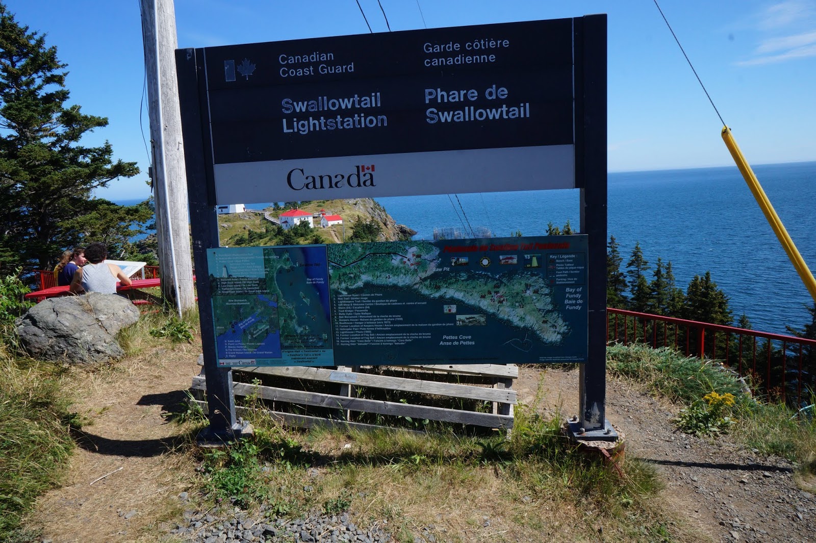


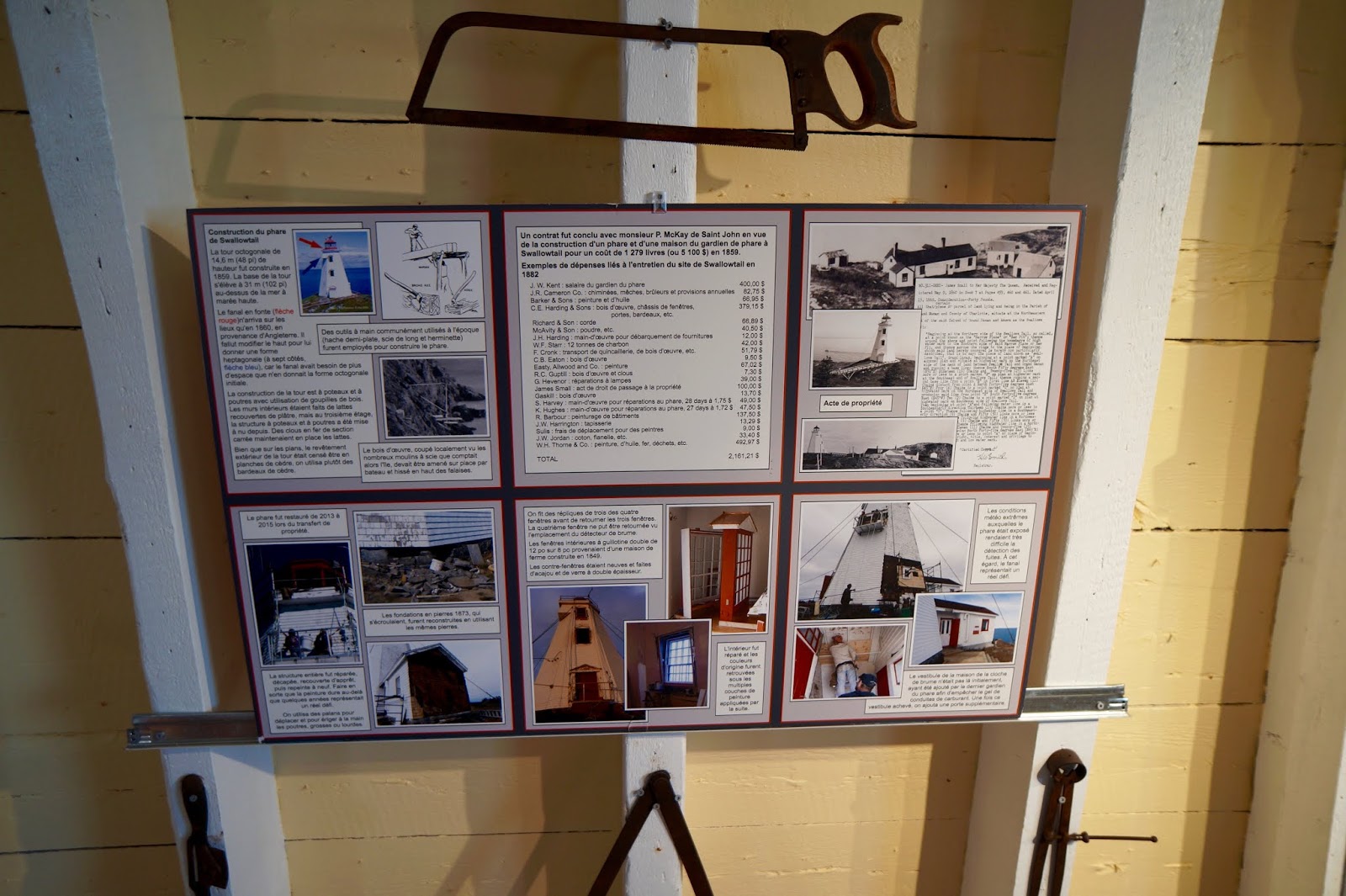
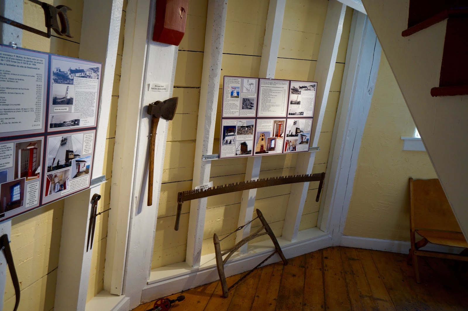
Most visitors to the remote lighthouses in the archipelago were fisherman who would drop off part of their catch in appreciation for the dedication of the light keepers and their families. Light keepers often fished for their own use if they had a boat available to them.
Sometimes the visitors were totally unexpected after surviving ship wrecks. The light keepers took them in, warmed them up, fed them and did what they could if any were injured before arranging for transport.


Afterwords, we went to the North end of the island to see the Hole in the Wall!! It was a short, but precarious hike!


The Hole in the Wall!!


We drove to the South End to try to see some whales.


 |
| Our BnB for Grand Manan |

 We had a rain soaked next day and so we played Scrabble and cards with our new friends! Our last day on the island we visited one last beach before we left.


Those black dots were seals playing in the water.


More pictures as we left the island via the ferry.


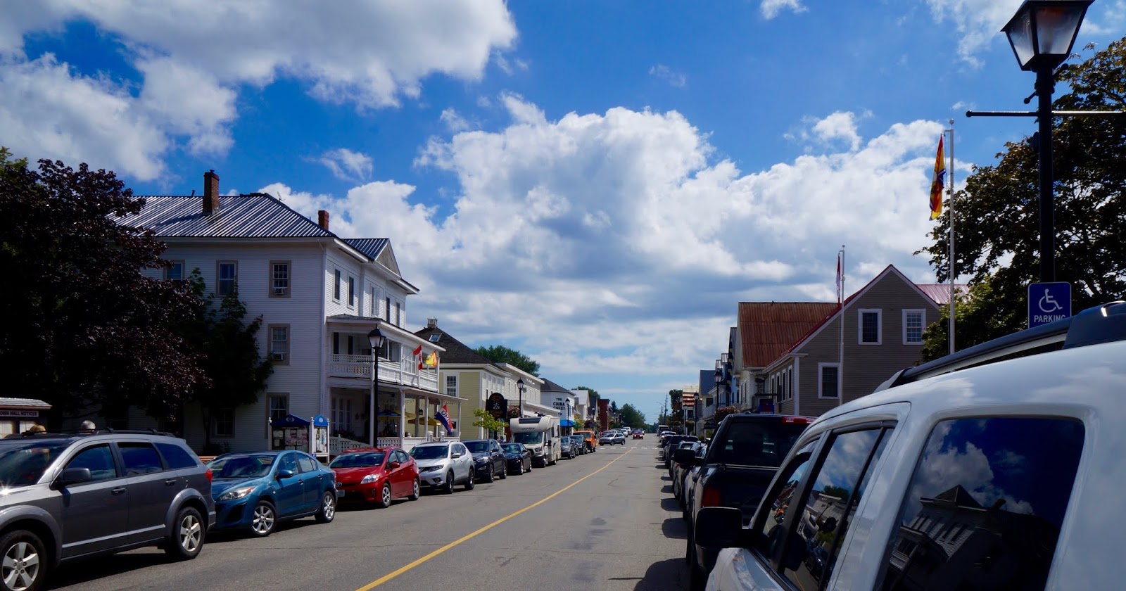
St Andrews
Our last stop in New Brunswick before the States. This was such a picturesque town.


I feel we are the fortunate of the fortunates. We have truly enjoyed our time in Canada, though we must say... that upon leaving Canada, we have decided that Canadians are liars!!! We were promised moose and caribou throughout our stay, I mean there were plenty of warnings on the road, caution, moose crossing. But not a one. Then we go to the island where you are basically guaranteed to see a whale-… nope. Maybe Maine will be more forthcoming!
We thought about photoshopping a moose or caribou in but decided to expose the Canadians for who they are. (Plus, I really do not know how to photoshop)
Back to how fortunate we are, not many have the ability to travel as we have, and we hope that some are able to enjoy the locations we go to even in a small way through our pictures. We have met some of the kindest, most wonderful people. And have experienced some of the most beautiful sights. God is truly an artist!
Blessings to all. Now off to the States on our way back home!
No comments:
Post a Comment